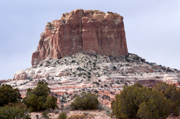
A road trip through the American southwest is continuous lesson in the vastness of our landscape and the power of elevation. As we gained elevation outside Sedona the red rocks and desert colors became forest hues with the sound of running water and the sweet smell of Ponderosa pine. And once outside Flagstaff, heading north to Page, AZ we were once again in a high desert plateau where the color coding of the houses looked more real and less like a Benjamin Moore Paint advertisement.
A few weeks ago, at 6:30 in the morning, a significant chunk of AZ 89 totally collapsed. The current thinking is that it was a geologic event, but the main road to Page and Lake Powell will be out of service quite some time to come. Being a place of few roads, the detour takes you on a extra 90 mile loop through Navajo land. In those wide open spaces we could watch strands of rain clouds descend like fleet fingers over mesas. Often they picked up the violet and red hues of the rocks as if the sky were painting itself.
At the overlook where I took this photo, several navajo artists had set up a roadside market to take advantage of all the increased traffic the detour created. The winning smile of one entrepreneur even got me to buy fried bread dough- cooked in a well loved iron skillet in a their make shift roadside kitchen. Drizzled with honey it was just the pick me up I needed for the last 90 miles.


